Charting The Invisible
- Nov 10, 2017
- 2 min read
UPA Annual Exhibition 2017
APT Gallery - London, UK - 10 to 14 November 2017
United Photo Industry (UPI) - Brooklyn, USA - November 2017
“We live, die and love in a squared space, cut, variegated, with bright and dark areas, with drops, steps, depressions and bumps” (Foucault, 2006, p.12).
With this reflection, Michel Foucault reminds us of the similarities between passing through life and the detailed topographical analysis of a territory. Maps work on the thin boundary between science and art, between rational representation of spatial data and the evocation of the hidden and emotional layers that compose the reality as we experience it. The inner meaning of a bi-dimensional map resides in what is left out of the physical frame, in those
evocative elements that conveys a full perception of the territory considered and represented.
Cartographies are not just a combination of paper and ink or digital Data; their meaning resides in those hidden intangible layers that allow a full comprehension of the charted territory. In a similar way a photographic frame works as a self-contained limit whose meaning stands in what remains out of it. The omitted, and its evocative meaning, becomes the significance of the image. “Charting the invisible” aims to break the boundary of what we traditionally consider the cartographic interpretation of reality. The representation of those hidden layers - emotional, intangible and evocative – will become the focus of the works shown in the exhibition.


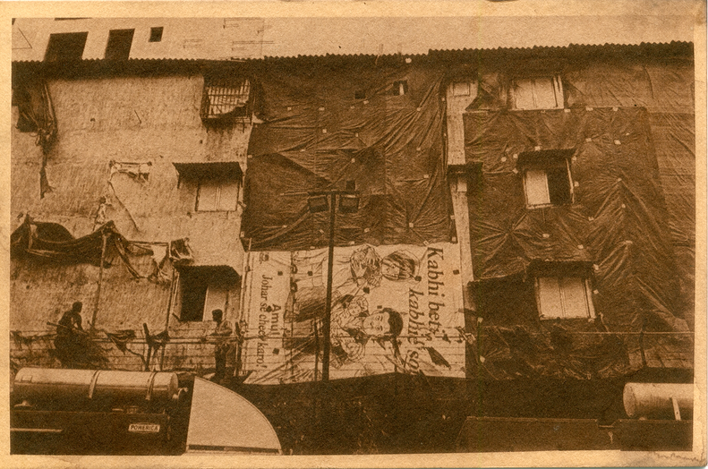


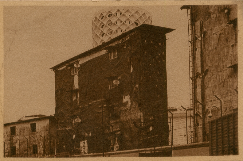


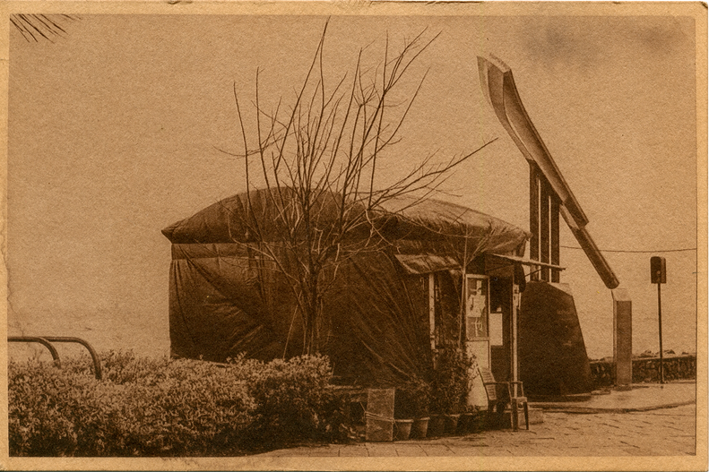


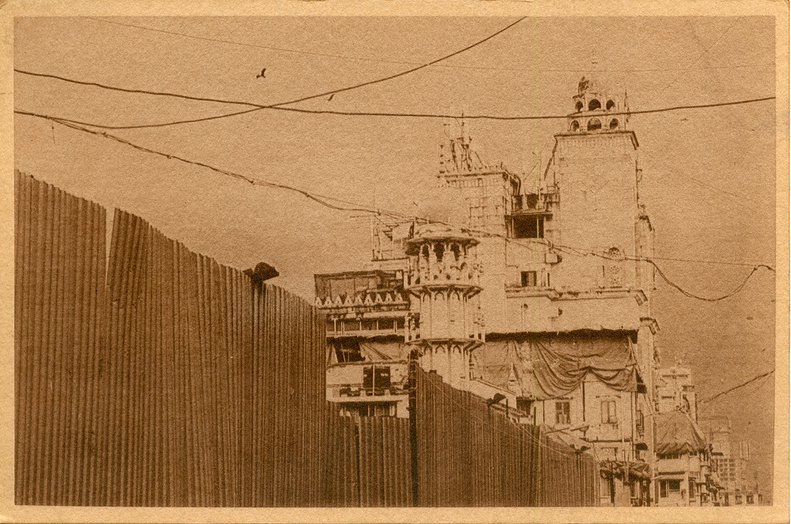


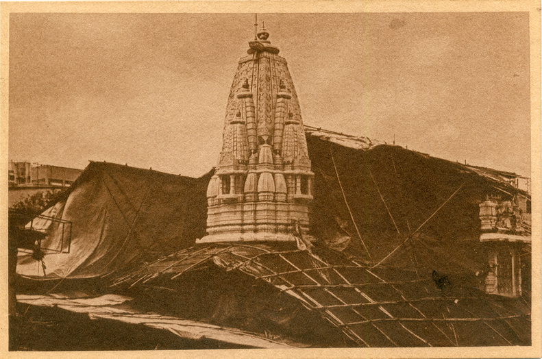


Work made in collaboration with David Kendall.
The project aims to reconfigure geopolitical and perceptual links between two cities: Mumbai and London. As a result, the artworks investigate how temporary and permanent architecture: the evolving skin that covers cities generates co-production and dialogue through image making. The installation aims to present new cultural exchanges and ocular blueprints affected by the atmospheric, environmental and colonial residue of urban life across continents.
Thus, the reproduction of buildings on existing city sites links the colonisation of India with British financial, corporate control and urbanisation. These architectural sites connect geographically through shared social and cultural histories yet are influenced by contemporary Global economic and climatic conditions. For these reasons, structural intersections between British colonial corporate history in the City of London and spatial infrastructures and material cultures in India are revealed and explored in the project.
In addition, climate and precipitation are significant elements in producing Global collaboration between the artists. The environmental conditions and polluted materials in the two cities: rainwater, tannins, analogue reproductive technology are combined with digital image making and historical printmaking techniques to produce shared concepts and materials.
These resources are used to compose, form and influence the evolution of the printmaking, and as the prints develop overtime their tonal appearance reacts to UV light, rainwater, tannins and oxidation in the sites where they were made and exhibited. Creating new spatial conditions to portray a segment of the historical and geographical residue of empire that still exists in the social and cultural values of India and the United Kingdom.
Catalogue accompanying the Exhibition


Charting the Invisible - Chapter II


